The smoke was obvious in the MODIS satellite image around noon, with low clouds beneath the smoke, west of the Cascade crest.

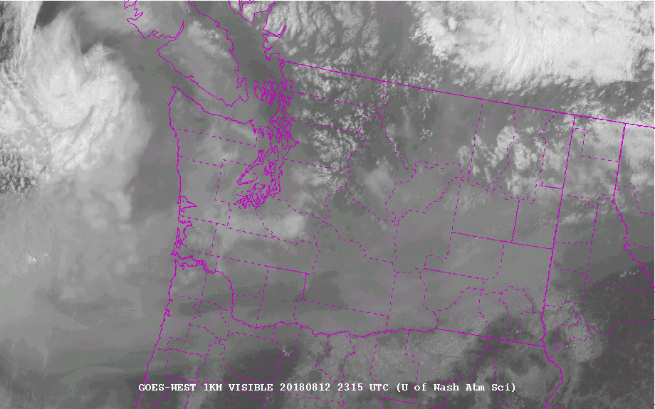
Most of these clouds subsequently burned off, with lots of smoke still aloft (see picture for the GOES satellite around 4 PM)
The smoke was quite dense but was mainly aloft, leaving air quality decent near the surface. But the sky is very hazy and the sun has that weakened yellow/red look to it. For example, the latest image from the Seattle PanoCam shows the smoke clearly.

And those hiking at Sunrise on Mt. Rainier did not see blue skies.

Yesterday in contrast had very, very clear skies. What happened?
The passage of an upper level low and trough.
Prior to the low passage, there was lots of Canadian smoke aloft, since southerly flow precedes the upper level low (see my previous blog). As the low passed yesterday, the winds aloft first were first southwesterly/westerly, bringing in clean air from off the Pacific). But as the low passed by, the winds became northerly aloft which moved smoke from fires in BC southward (see upper level, 500 hPa, about 18,000 ft, map at 5 AM Sunday, winds are shown by the wind barbs)

And the upper level map for tomorrow morning (11 AM Monday) shows that the northerly flow is not over.

As many of you know by now, I am a great enthusiast for the wonderful experimental HRRR-SMOKE model run by NOAA ESRL. Here is the vertical total of smoke amount for 2 PM Sunday from HRRR-Smoke. Red is very smoky. You can see lots of smoke moving southward into NW Washington, with cleaner air over northern Oregon. The California smoke wa heading to the east and then northeast, missing us.

By 9 AM Monday, substantial smoke is over all of WA state and CA smoke is moving northward again into Oregon.

And by late Monday evening, the two smoke sources combine, producing substantial haze over the entire Northwest.

And now the bad news: the winds over the Cascades will become easterly tomorrow and eastern WA smoke will push westward over the Cascades, with smoke pushing down to the surface (see surface smoke forecast for tomorrow at 7PM). Our decent air quality may be over---so if you are vulnerable, take the appropriate precautions.


No comments:
Post a Comment